Trail Difficulty Examples: What Each Level Looks Like
Below you’ll find photos and videos that illustrate the differences in difficulty for each level of route. A route’s difficulty is determined by its most difficult section, which means it might be 99% easy, but even if just 1% of it is challenging, we will designate it as a Challenging route. Pick a tab below to browse.
Routes marked as “PAVED” generally have smooth, wide, hard-surfaced trails with no rocks or roots and only gentle grades. These are the most accessible routes in our route library, and they are usually great for strollers, wheelchairs, and anyone just starting out with walking and hiking. There are some paved routes, however, that include paved stairs and greater elevation changes. Routes with those features are identified on their route cards in the route library.
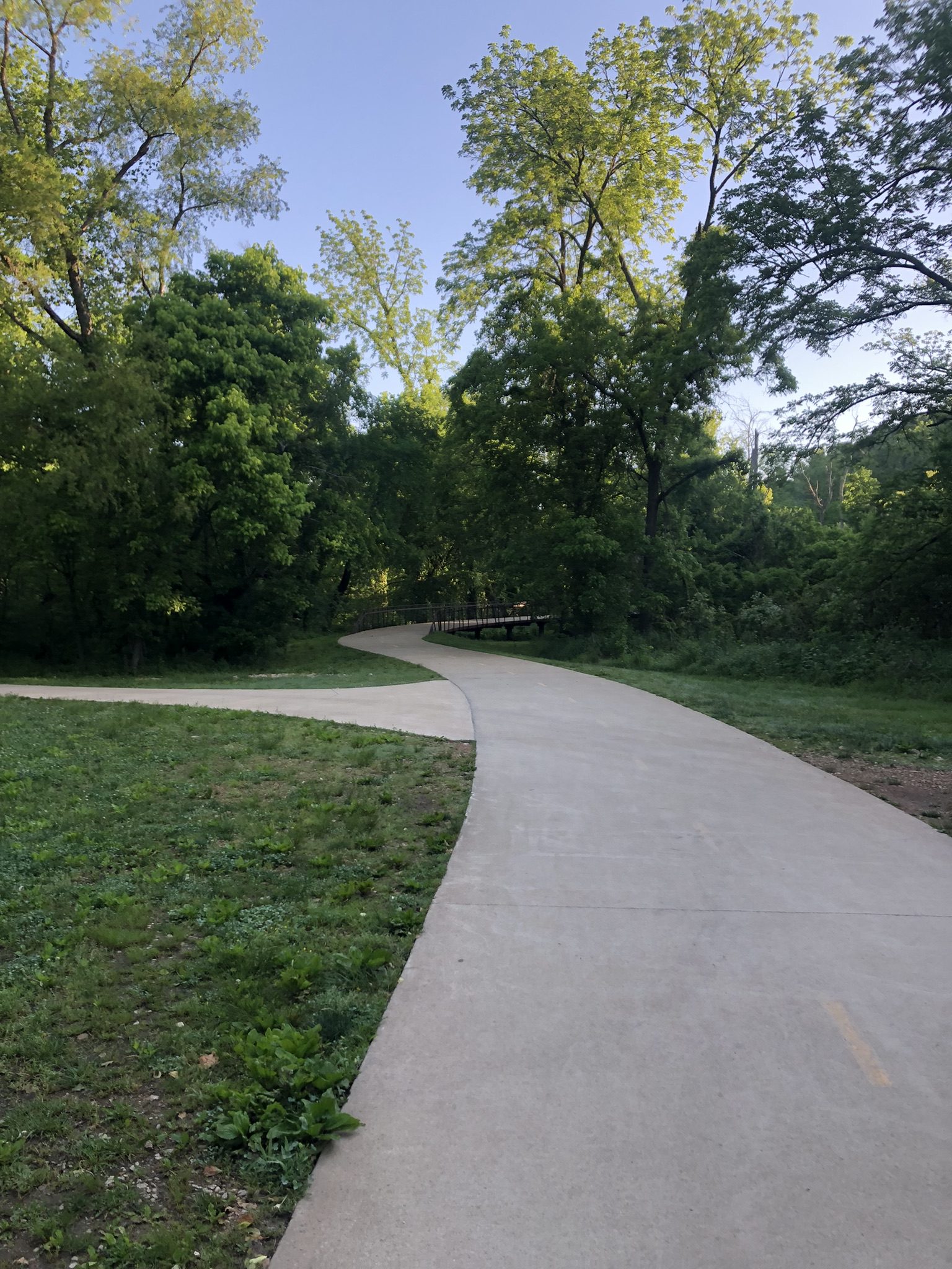
Applegate (Bentonville, Coler Preserve)

Bluebird (Bella Vista)
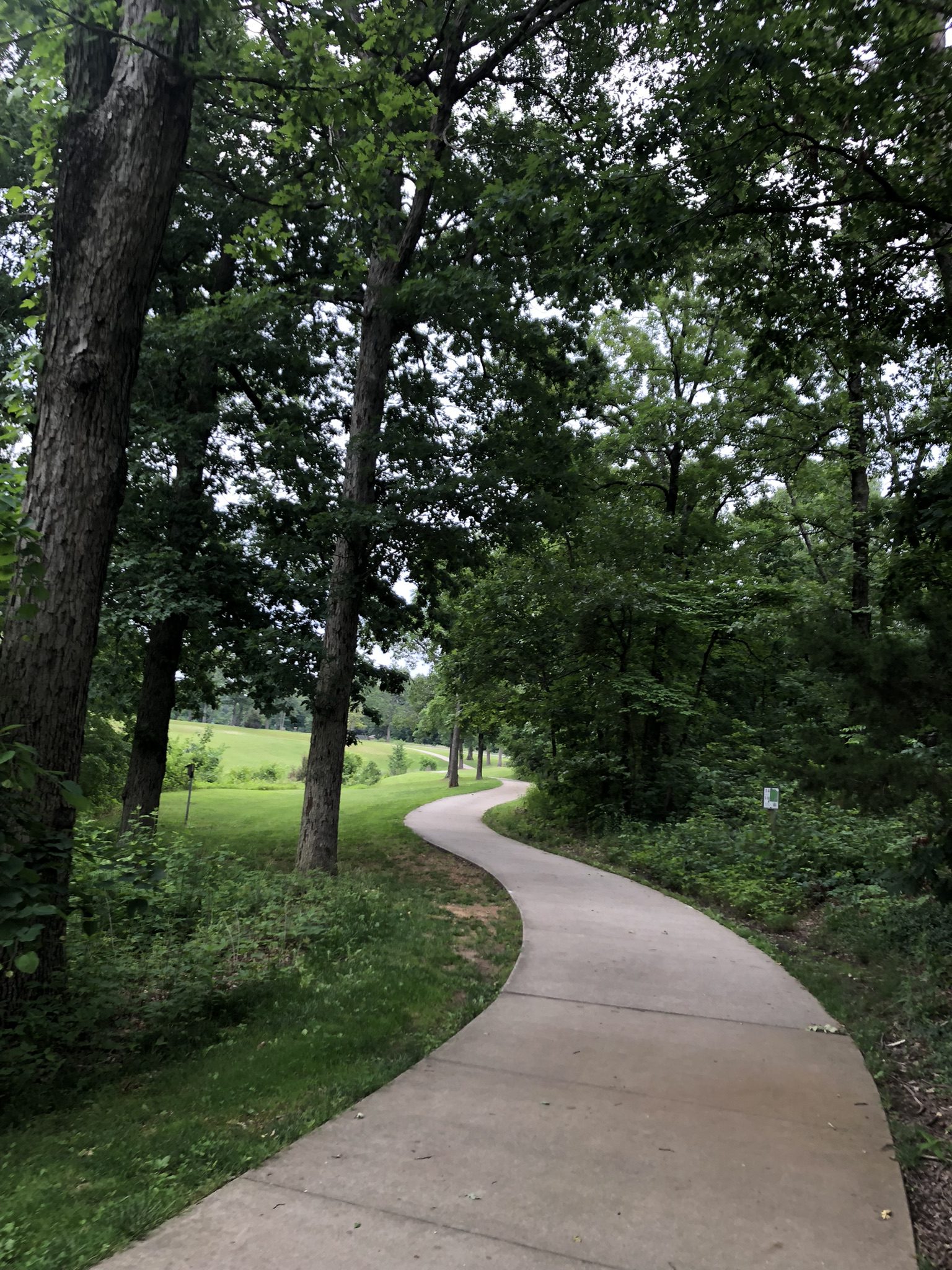
Branchwood (Bella Vista West)

Crystal Bridges (Bentonville)

Crystal Bridges (Bentonville)

Greenway (Bella Vista East)

Greenway (Bella Vista East)

Greenway (Bella Vista East)
Routes marked as “EASY” are natural-surface trails that stay mostly smooth dirt or gravel, with only occasional small rocks or roots and a few moderate hills. Easy routes are a comfortable next step for those ready to leave pavement behind.

All American (Bentonville)
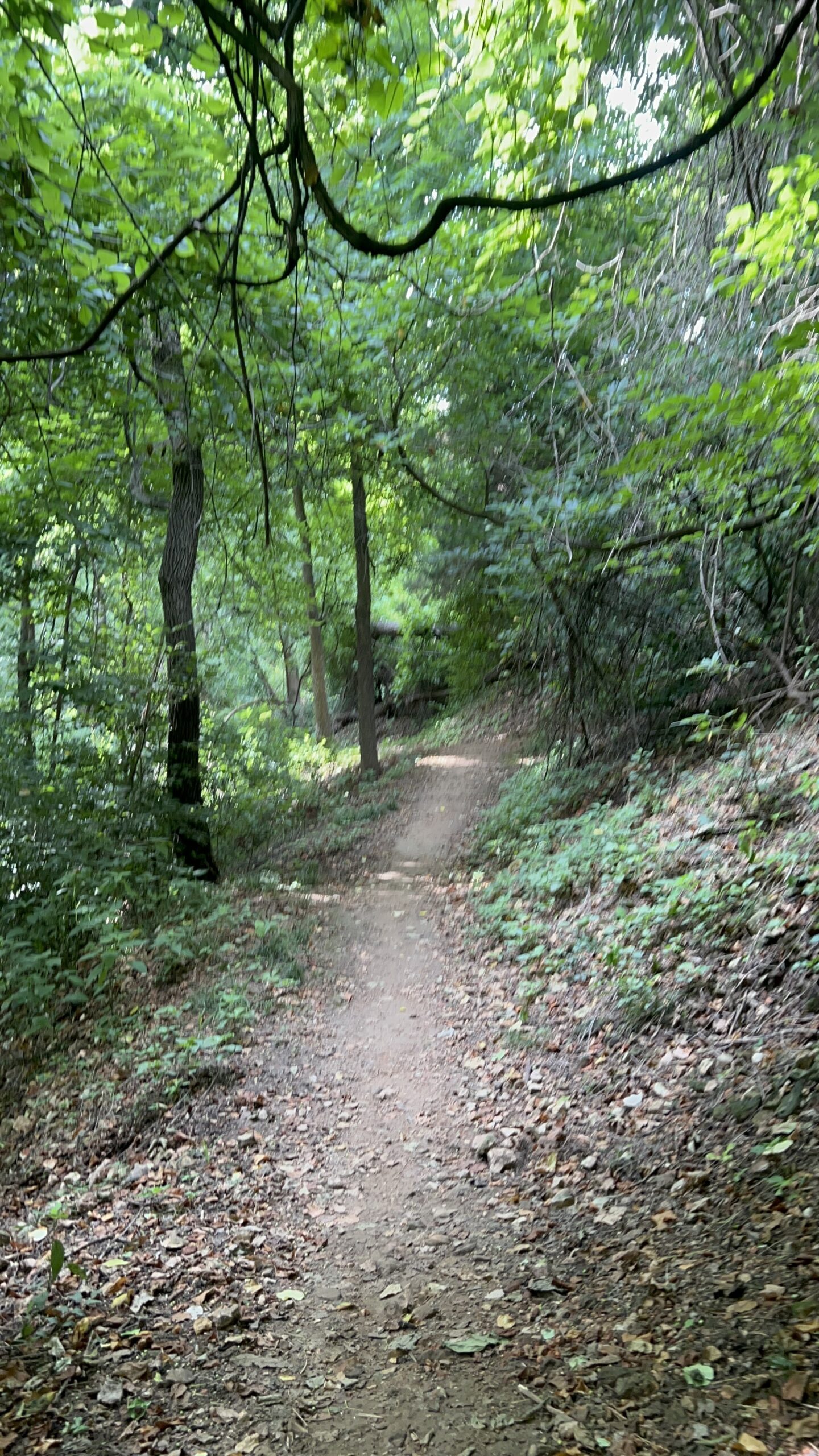
Esther’s (Bentonville, Coler Preserve)

Snowbird (Bella Vista East)

Tweety Bird (Bella Vista West)
Routes marked as “MODERATE” are singletrack trails that may contain some natural obstacles, such as rocks, roots, and steeper, more sustained climbs and descents. Some technical judgment and a reasonable fitness level are helpful to hike these routes safely.
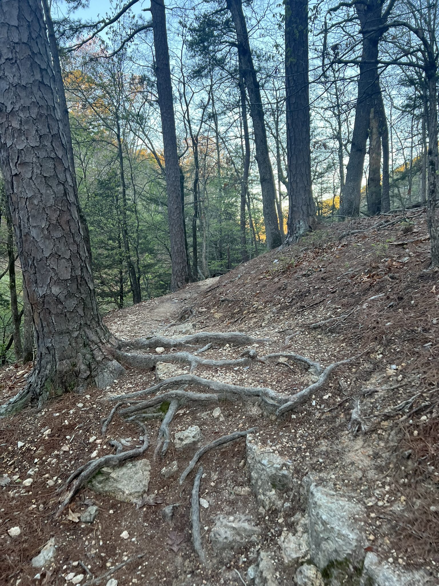
Back 40 (Bella Vista East)
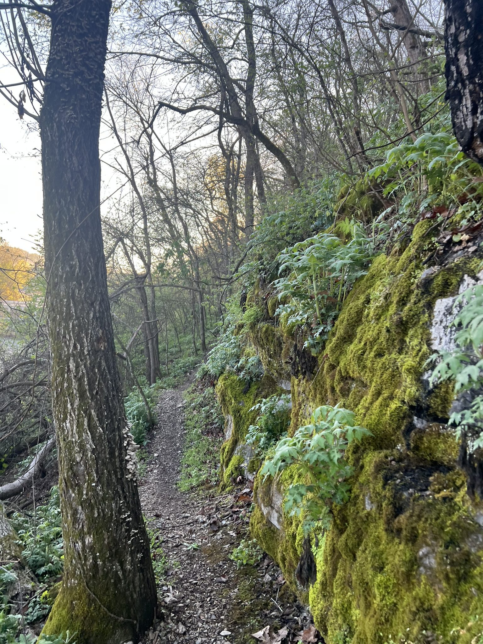
Back 40 (Bella Vista East)
Pinyon Creek (Bella Vista East)
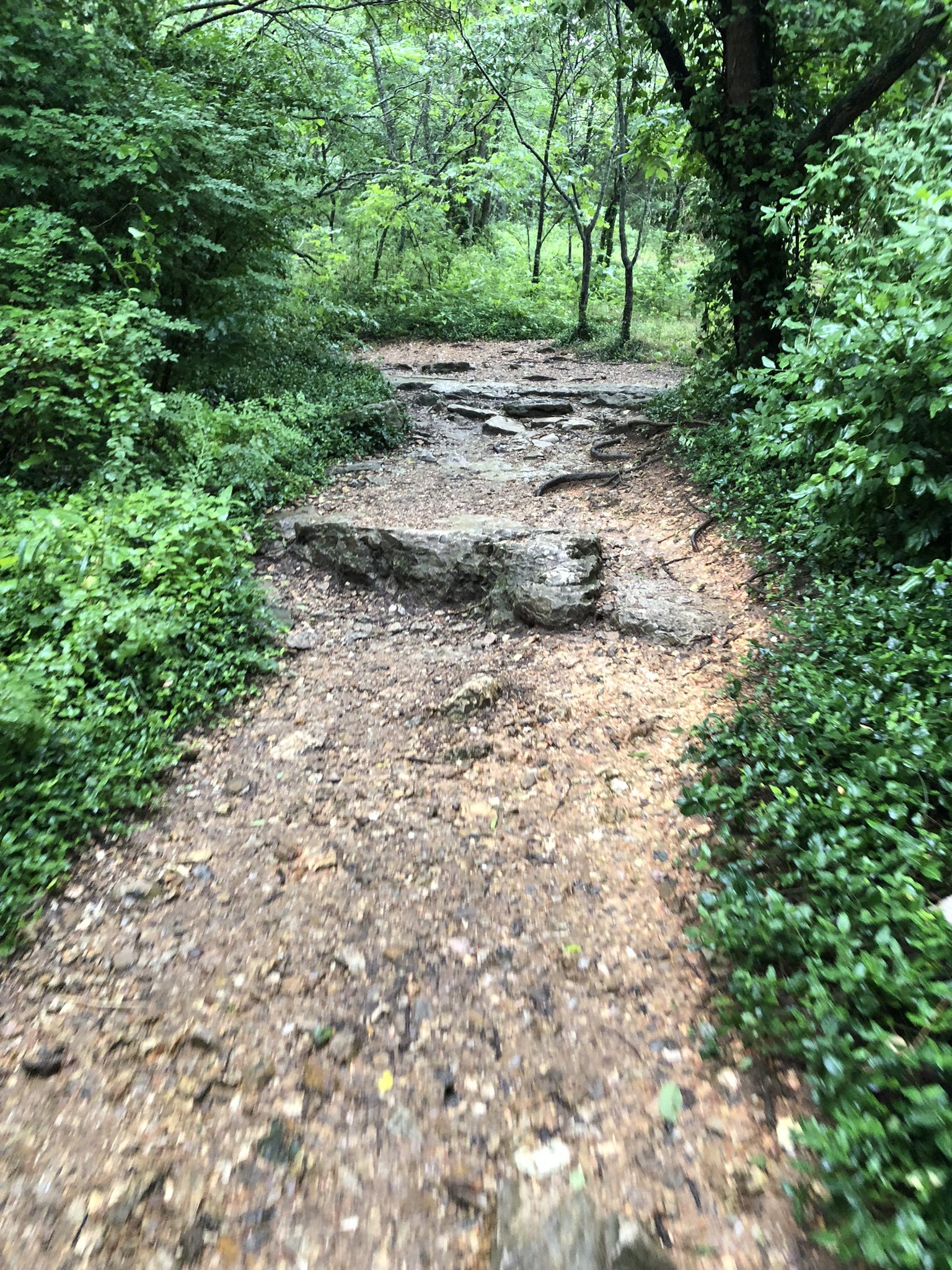
Tanyard Creek (Bella Vista West)
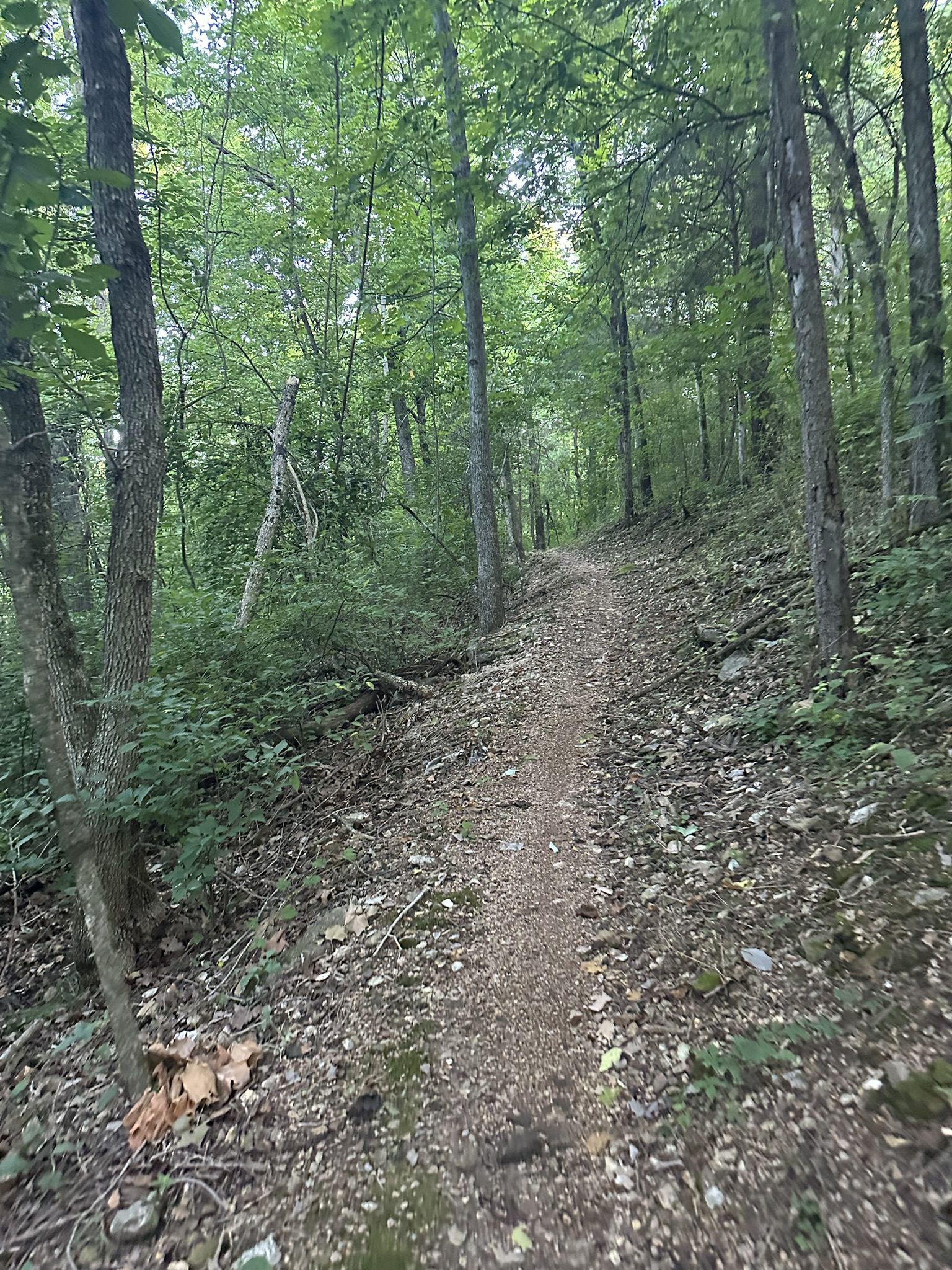
Tunnel Vision (Bella Vista West)
Routes marked as “CHALLENGING” have sections with technical features, such as ledges, large rocks, and roots, and steep, sustained elevation change. These routes are best suited for experienced hikers who are comfortable navigating obstacles.
Bomb Diggity (Bella Vista East, Blowing Springs)

Handcut Hollow (Bentonville)

It’ll Bluff Out (Bella Vista East)
The Ledges (Bella Vista East)
The Ledges (Bella Vista East)

Oscar’s (Bentonville, Coler Preserve)
What the Chuck (Bella Vista East)
Zone 4 (Bentonville, Handcut Hollow)
Want to look at surfaces on their own? This page shows what each difficulty level looks like on real local trails. If you would rather see the surfaces themselves—packed dirt, gravel, loose rock, bedrock, roots, and boardwalk—sorted by type instead of by difficulty, see Trail Surfaces: What You’ll Be Walking On.