How to start hiking in Northwest Arkansas.
Trailhead
Hidden Springs
Parking for Slaughter Pen + Park Springs · Bentonville, AR · Jump to the routes

Address
Parking lot east of Hidden Springs Dialysis Center, 3000 NW A St, Bentonville, AR 72712 (Or type CQ5P+5C2 Bentonville, AR directly into Google Maps.)
Get Directions to the TrailheadParking Area
large, paved
Amenities
no restroom facilities; full restrooms within walking distance south near the Bark Park
Routes starting from this location

Hidden Springs to All American
1.81 mi · 50 ft gain · 28 ft/mi · Loop
This route includes about 1.4 miles of paved Greenway.

Hidden Springs to Armadillo, Jessie's Climb, Medusa & Tatamagouche
2.2 mi · 175 ft gain · 80 ft/mi · Loop
This route includes about .3 miles of paved Greenway.

Hidden Springs to Tatamagouche & Medusa
2.86 mi · 225 ft gain · 79 ft/mi · Loop
This route includes about .4 miles of paved Greenway.
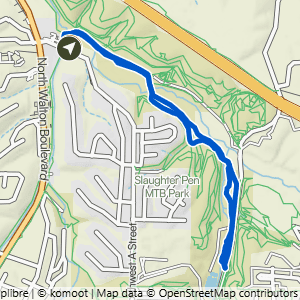
Hidden Springs to All American & Greenway
2.99 mi · 100 ft gain · 33 ft/mi · Loop
This route includes about 1.75 miles of paved Greenway.
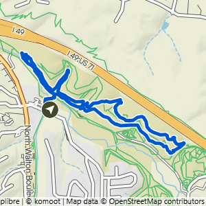
Hidden Springs to Armadillo's Last Stand+
2.99 mi · 200 ft gain · 67 ft/mi · Loop
This route includes about .3 miles of paved Greenway.

Hidden Springs to Bentonville Braum's
3.39 mi · 200 ft gain · 59 ft/mi · Out & Back

Hidden Springs to Angus Chute & Urban Trail
3.53 mi · 175 ft gain · 50 ft/mi · Lollipop
This route includes about .5 miles of paved Greenway.

Hidden Springs to Armadillo, Medussa & Tatamagouche
3.74 mi · 250 ft gain · 67 ft/mi · Loop
This route includes about .3 miles of paved Greenway.

Hidden Springs to Angus Chute & Razorback Ridge
3.85 mi · 225 ft gain · 58 ft/mi · Lollipop
This route includes about .4 miles of paved Greenway.

Hidden Springs to Black Limousin, Angus Chute, Urban Trail & Razorback Ridge
3.95 mi · 250 ft gain · 63 ft/mi · Lollipop
This route includes about .4 miles of paved Greenway.
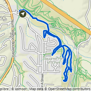
Hidden Springs to Black Limousin & Urban Trail
3.97 mi · 225 ft gain · 57 ft/mi · Lollipop
This route includes about .4 miles of paved Greenway.

Hidden Springs to Tatamagouche, Medusa, Seed Tick & Armadillo
5.54 mi · 375 ft gain · 68 ft/mi · Loop
This route includes about .5 miles of paved Greenway.